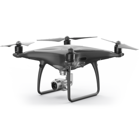
UAV-ASIGN is part of the ASIGN software suite and optimized for the capture and transfer of photos and videos from small drones while in-flight. UAV-ASIGN can interface to DJI drones but also works with other small UAVs which use a smartphone in their control station. Photos and videos collected with UAV-ASIGN arrive swiftly and despite low bandwidth at the ASIGN Server.
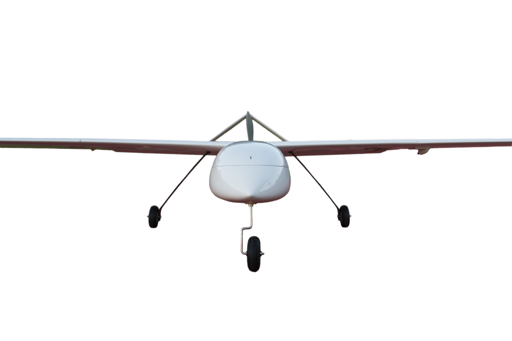
ASMIRA is for larger LALE / MALE UAVs, planes and helicopters. The ASMIRA software can stream live video or send photos and video through virtually any available network, even if bandwidth is severely constrained. The software enables streaming of video real-time with data rates as low as 100 kbps. ASMIRA is the software of choice to enable communication through satcom terminals.

ASMIRA
ASMIRA enables remote real-time data collection and communication anywhere, anytime. By enabling image and video streaming, greater range, real-time flight control and an expanded payload, ASMIRA delivers invaluable enhancements to an already indispensable piece of tactical hardware. Read more »
UAV-ASIGN
Smaller drones can be effectively piloted to inspect infrastructure or assets from all the necessary angles safely, faster and cheaper, without having to displace an individual. The expert assessing the structure does not even have to be present at the location, as the images can be assessed in real-time from a remote location, allowing the expert to also guide the pilot in their assessment. Read more »