Photo & Video Camera

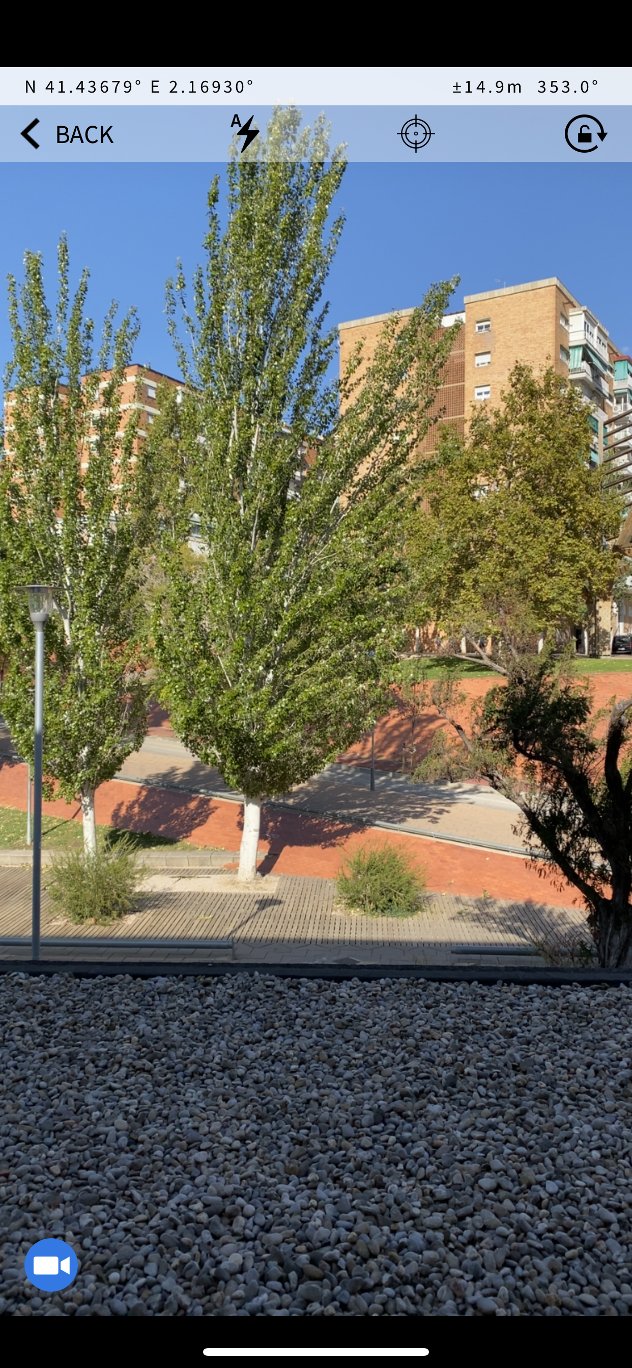
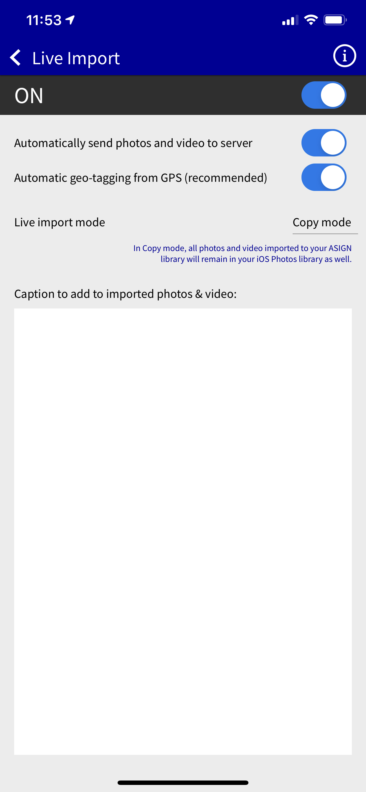
The camera features enable field users to send geo-tagged and time-stamped photos and videos with added text, priority and voice caption.

A unique feature of AnsuR software is the ability to focus bandwidth on content that really matters via the ‘details by demand’ methodology. This enables the communication of precise photos and videos faster, and at a lower cost, without compromising precision.

ASIGN users initially send a configurable lower-resolution preview, allowing the recipient to decide the relevance of the visual information. They can pick the desired regions and pull important content in full precision. 

An ASIGN PRO user can also decide to push regions of interest in full precision to highlight a particular area to the Server.

The important content in full-precision arrives reliably and faster despite bandwidth limitation, while providing better and more actionable intelligence. 

Satellite communication users can benefit substantially, as with ASIGN, between 90-99% of bandwidth resources, time and cost can be saved!

Assessment Forms & Collaborative Reports

From ASIGN PRO, users can respond to customized assessment forms designed at the ASIGN Sever, and even work collaboratively on reports between multiple field users. 

ASIGN forms make it easy to compile quantitative and qualitative data and support the attachment of ASIGN photos and videos. This enables the very efficient inclusion of many photos and video clips, with no risk of getting “stuck in transmission”. 

ASIGN Pro supports both single user assessment forms and collaborative reports. 

Assessment forms are filled out by one individual, with each submitted form being a unique set of answers. Collaborative reports allow several people to work on the same report simultaneously. Both can be filled out online or offline.

Tracking

The Tracking function enables ASIGN PRO users to use their phone as a tracking device and to send their location to the ASIGN Server at a desired interval. 

Photos and videos taken while the tracking function is turned on will be shown on the track map indicating where on the route the observation was taken.

 Tracking can be used to ensure user safety and for increased team coordination. 

Live Mission Stream

The Live Mission Stream allows users to see what their colleagues within the same mission are sending to the ASIGN Server from their smartphones. This includes photos, videos, texts and tracks. It can provide the field team an improved common operational picture and awareness of their colleague’s location, status and situation. 

If ASIGN PRO users are in the same mission as UAV-ASIGN users, photos and videos collected by a UAV will also be visible within the team’s Live Mission Stream.

The Live Mission Stream was requested by and developed with feedback from Police forces to enable better field coordination and mission oversight. 

Geo-Alerts

The Geo-Alert function warns users that they are entering a dangerous, or exiting a safe, zone depending on their geo-location. Field users get a push notification on their screen when they cross into or out of the designated geo-zone. The ASIGN Server can also receive notifications when users are crossing in/out of the areas.

Geo-alerts can be created both on the ASIGN Control Center, or by individual users for personalized alarms on ASIGN PRO. 

Geo-Alerts provides a location-based messaging service that can be used in many different ways. For example, to highlight where medical aid is available, or to alert people when bridges, buildings and infrastructure are safe or unsafe to approach.

Live Import

Live Import allows ASIGN PRO to automatically copy or move all new photos that appear in the device photo library into the ASIGN Pro library and send them on to the ASIGN Server. This creates an interface to any external camera function. 

When active, all new photos taken with the smartphone camera or a connected external camera will be imported into the ASIGN PRO library and sent to the ASIGN server, even without directly using the ASIGN application 

 Photos imported into ASIGN can be geo-tagged by ASIGN if so desired and given a caption for easier data management.

Geo - Timer

The Geo-timer function will automatically capture and send photos taken in a certain area at a selected time interval. This feature can be used e.g. in an autonomous context, such as a flying camera attached to a drone or in the dashboard of a moving vehicle.